
Myth-Busting: Common Misconceptions About Drone Surveying
Introduction to Drone Surveying
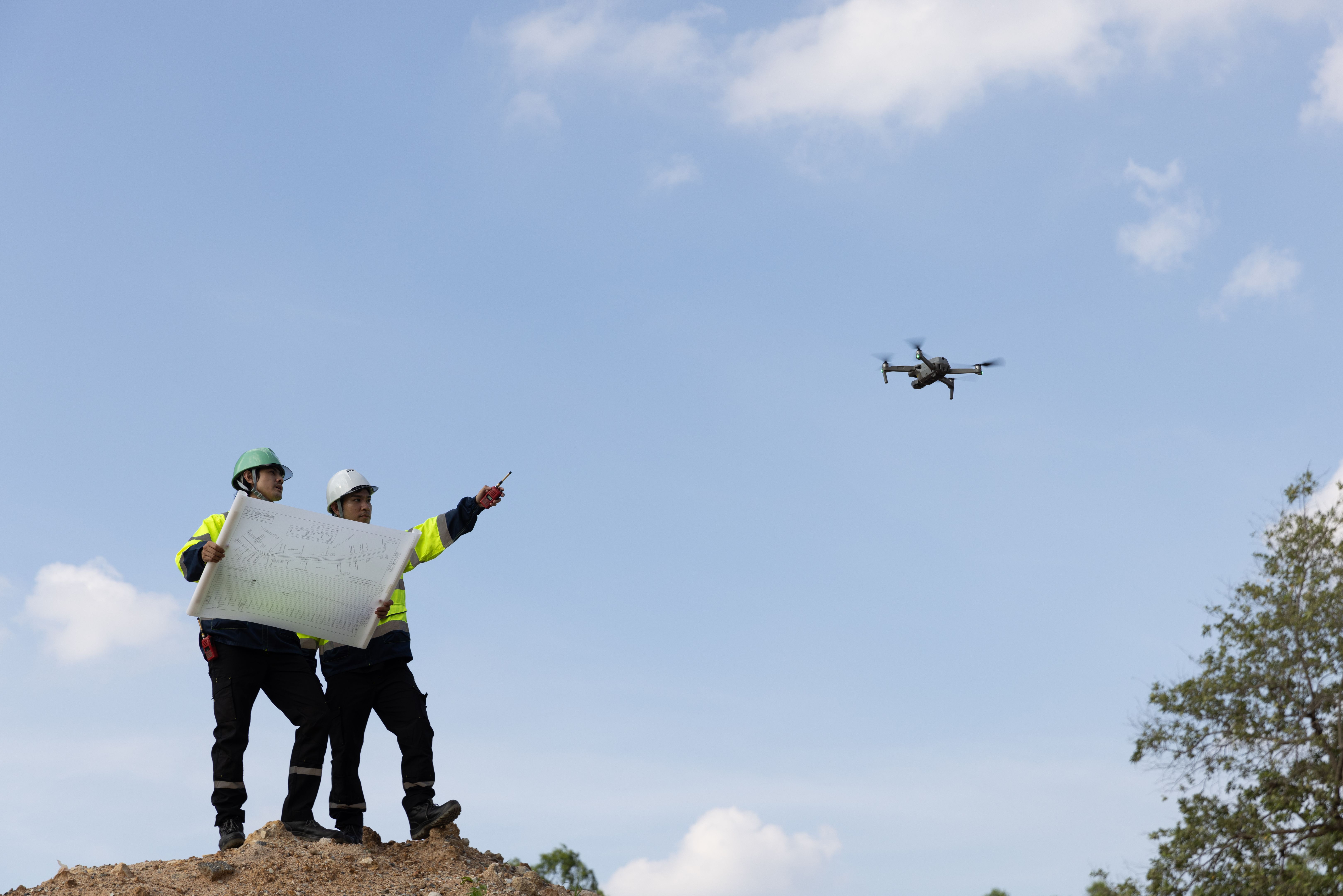
Drone surveying has revolutionized the way we gather and analyze data in various industries. However, despite its growing popularity, several misconceptions still surround this innovative technology. In this post, we'll debunk some of the most common myths about drone surveying and provide clarity on its capabilities.
Myth 1: Drones Are Not Accurate
One of the most prevalent misconceptions is that drones cannot provide accurate data. Contrary to this belief, drones equipped with advanced GPS technology and high-resolution cameras can capture data with remarkable precision. In fact, many drones are capable of achieving centimeter-level accuracy, making them a reliable tool for tasks like mapping and land surveying.
Myth 2: Drones Are Only for Large Projects
Another common myth is that drone surveying is only suitable for large-scale projects. While it's true that drones are incredibly efficient for expansive areas, they are also beneficial for smaller projects. Their ability to quickly gather data and access hard-to-reach places makes them versatile enough for projects of any size.
Smaller projects, such as residential property surveys or small-scale construction sites, can benefit significantly from the speed and cost-effectiveness of drone technology. By reducing the need for manual labor and traditional surveying methods, drones offer an accessible solution for businesses of all sizes.
Myth 3: Drone Surveying Is Too Expensive
Cost is often a concern for those considering drone surveying. However, when compared to traditional methods, drones can actually be more cost-effective. Traditional surveying requires significant manpower and time, which can drive up costs. Drones, on the other hand, can cover large areas quickly, reducing both time and labor expenses.
Additionally, the initial investment in drone technology can be offset by the long-term savings it provides in terms of efficiency and accuracy. As technology advances, the costs associated with drone surveying continue to decrease, making it an increasingly affordable option.
Myth 4: Operating Drones Requires Expert Skills
Many believe that operating a drone for surveying purposes requires extensive expertise. While some training is necessary to ensure safe and effective operation, modern drones are designed with user-friendly interfaces and automated features that simplify the process. Many drones offer autopilot capabilities, allowing operators to focus on data collection rather than piloting.
Moreover, there are numerous training programs and resources available to help users gain the necessary skills to operate drones efficiently. This accessibility has made drone surveying an attainable option for many businesses and individuals.
Conclusion
Drone surveying offers a range of benefits across various industries, from increased accuracy to cost savings. By dispelling these common myths, we hope to provide a clearer understanding of what drone technology can achieve. As the industry continues to evolve, embracing the capabilities of drones can lead to more efficient and innovative solutions in surveying and beyond.