Enhancing Precision: The Role of RTK in Aerial Mapping
Understanding the Basics of RTK
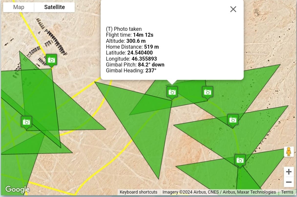
Real-Time Kinematic (RTK) technology has revolutionized the way we approach aerial mapping. At its core, RTK is a satellite navigation technique used to enhance the precision of position data derived from satellite-based positioning systems. By using a fixed ground station and a moving receiver, RTK can deliver centimeter-level accuracy, making it indispensable for tasks requiring high precision.
In aerial mapping, accuracy is paramount. Traditional GPS systems, while useful, often suffer from inaccuracies due to atmospheric conditions and other environmental factors. RTK addresses these issues by providing real-time correction data, ensuring that the positional information is as accurate as possible.
The Importance of Precision in Aerial Mapping
For industries reliant on aerial mapping, such as agriculture, construction, and urban planning, precision is crucial. Inaccurate data can lead to costly mistakes and inefficient resource allocation. RTK allows these industries to achieve the high level of detail required for effective decision-making, resulting in enhanced productivity and reduced costs.
One of the key benefits of RTK is its ability to provide real-time data. This immediacy means that decision-makers can rely on up-to-date information when planning and executing projects. Moreover, the enhanced precision offered by RTK ensures that every measurement is as accurate as possible, minimizing errors and maximizing efficiency.
How RTK Works in Aerial Mapping
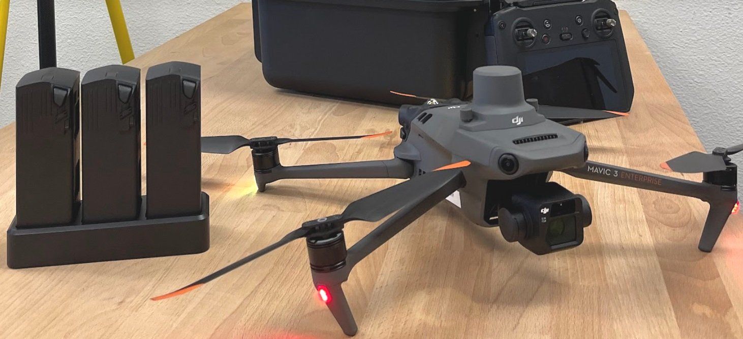
RTK operates by using a base station that knows its exact position. This base station receives signals from GPS satellites and compares them to the known position, calculating corrections. These corrections are then sent to the receiver on the drone or aerial vehicle, which applies them to its own GPS data, resulting in highly accurate positional information.
The setup typically involves a few key components:
- The base station, which remains stationary and calculates correction data.
- The rover, which is the moving part, often attached to a drone.
- A communication link, usually a radio or internet connection, to transmit correction data.
Advantages of Using RTK in Various Sectors
The implementation of RTK in aerial mapping offers numerous advantages across various sectors. For instance, in agriculture, farmers can use RTK-equipped drones to monitor crops with unprecedented accuracy, optimizing yields and reducing waste.
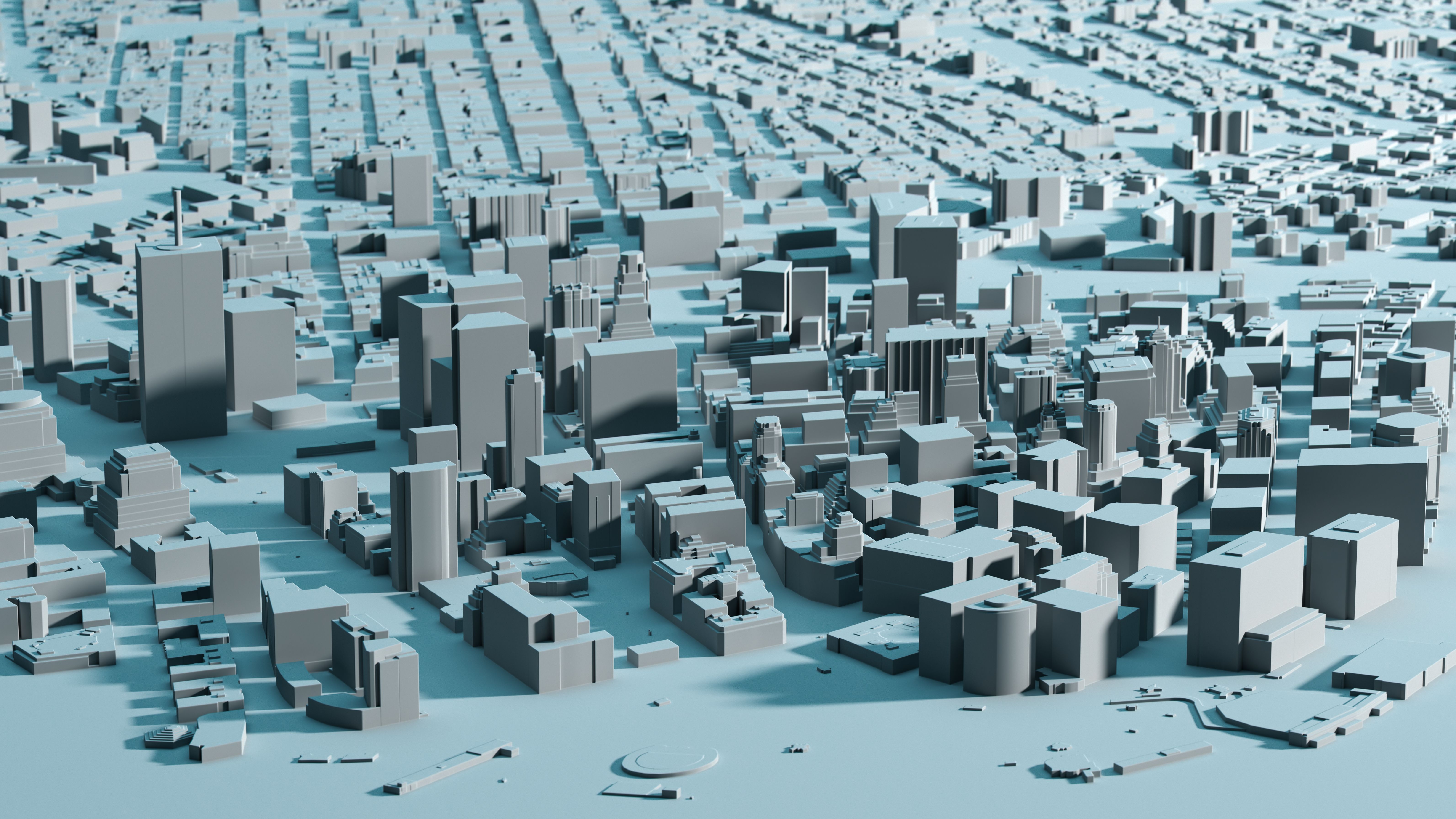
In construction, RTK technology helps in creating precise topographical maps, aiding in site planning and development. Urban planners also benefit from the detailed data provided by RTK, enabling the creation of more efficient and sustainable cities.
Challenges and Considerations
Despite its advantages, there are challenges associated with RTK technology. Initial setup costs can be high, and the technology requires a clear line of sight to satellites, which can be obstructed by buildings or natural features. Additionally, maintaining a stable communication link between the base station and the rover is crucial for accuracy.
However, with advancements in technology and decreasing costs, these challenges are becoming less significant. More industries are adopting RTK as a standard for precision mapping, recognizing its potential to transform operations.
The Future of RTK in Aerial Mapping
As technology continues to evolve, the capabilities of RTK in aerial mapping are likely to expand. Emerging advancements in satellite technology and communication systems promise to further enhance the accuracy and reliability of RTK systems.
Looking ahead, the integration of RTK with other technologies, such as artificial intelligence and machine learning, could unlock new possibilities in data analysis and automation. This integration will likely drive innovation in various fields, making RTK an even more valuable tool in the future.
